


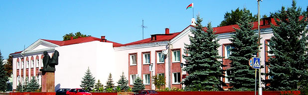


The Narovlya region is located in the southern part of Gomel oblast and borders on the Yelsk, Mozyr and Khoiniki regions of Belarus and the Narodichi, Ovruch, Polessye and Chernobyl regions of Ukraine.
The total area – 158882 hectares including:
Lands of agricultural organizations – 22601 hectares
Lands of the reserve – 63645 hectares
Contaminated lands, withdrawn from agricultural use – 1450 hectares
Some 85 per cent of the territory of the region is at the height of 120-140 meters above sea level. The soil fertility is low, with acid soils prevailing.
The Narovlya region was thought to be poorly endowed with minerals. Several oil deposits were discovered there. In 1953 the first Belarusian oil was extracted at the border with the Yelsk region. Unfortunately further boring did give any results. However, the research studies show that the region has gas and oil deposits.
The prospecting work in 1954-1956 showed that the sediments of the Pripyat Cavity contained clay rocks, lignite and coal. The region has small peat fields. Rock (kitchen) salt was found on the territory of the region near the villages of Guta and Zarakitniye. The depth of the deposits ranges from 300 to 2500 meters. The salt mass capacity is up to two kilometers. In 1975 a bentonite deposit was found near the village of Okopy of the Narovlya region (it is a resettlement zone today). It is one of the most valuable clays used for petroleum product refining and production of casting moulds.
Thermal salt brines were discovered there as well. These are high-concentration hydrosulphuric and sodium-chloride Matsesta-type waters. When on the surface they have temperature of 42 degrees Celsius and can be used to treat diseases without additional heating.
The climate is lukewarm, damp with rather warm long summers and cold winters. The average annual temperature is 7,5 degrees above zero Celsius. The hottest month is July with the mean daily temperature of 19 degrees above zero Celsius. The biggest volume of precipitations – up to 60 per cent fall during the warm period (April-September). The average annual number of precipitations – 500-550mm.
The river network is part of the Black Sea basin and is connected with it by the Dnepr River. The main river is Pripyat; its length makes 802km.